Click to download now, finish the installation quickly, and directly unlock the all-round experience
Screenshots
Click to download now, finish the installation quickly, and directly unlock the all-round experience
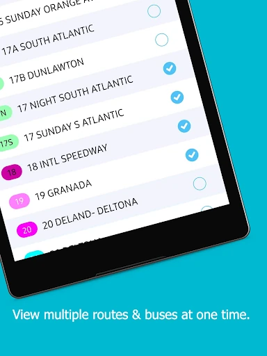
myStop® Mobile helps bus riders check live vehicle locations, view routes and schedules, and plan trips from an Android phone. It is suited to people who rely on participating public transit agencies and want more than a static timetable before heading to a stop.
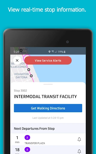
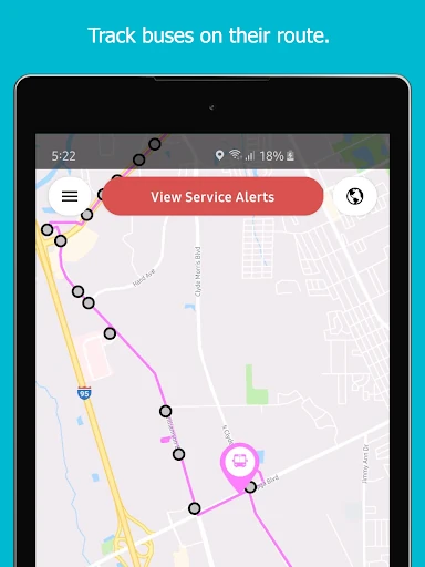
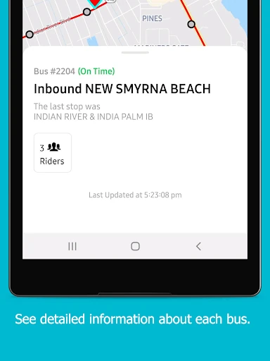
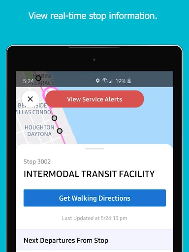
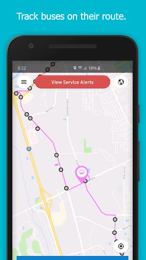
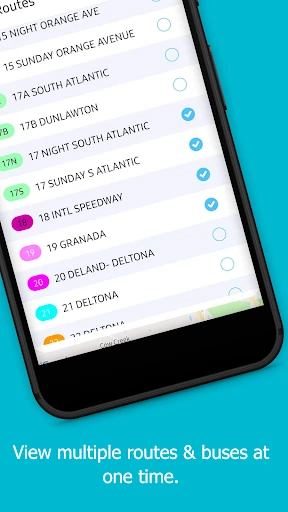
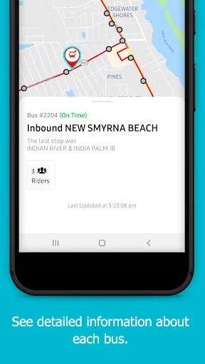
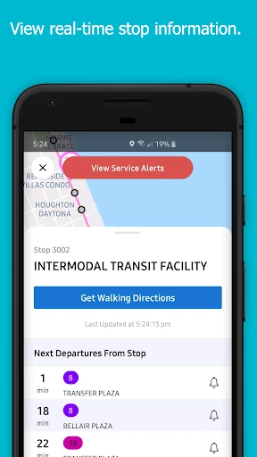
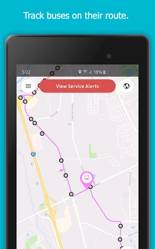
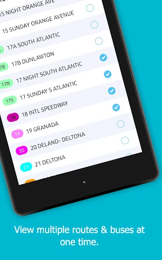
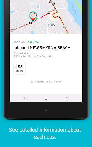
The app combines trip planning with map-based transit information. You can look up nearby stops, get directions to the closest stop, and follow buses as they move along their routes. Real-time tracking is shown graphically on the map, while service alerts provide a quick way to check for disruptions.
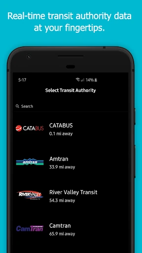
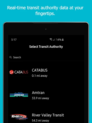
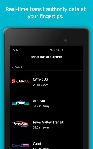
myStop® Mobile selects the participating agency closest to your current location, making it useful for riders in supported areas without requiring them to sort through a long agency list first. Coverage includes systems such as IndyGo in Indianapolis, CATA in State College, The Rapid in Grand Rapids, Votran in Volusia County, and transit providers in many other US cities and regions. The app’s usefulness depends on whether your local agency is supported.
Developed by Avail Technologies, myStop® Mobile is listed under Maps & Navigation and has passed 500,000 installs. Its rating is about 4.03 from 4,430 reviews, suggesting a broadly useful tool for riders whose transit provider participates in the service.